How fast can you get from your dock to open bay water on a sunny Saturday? If boating convenience leads your Davis Islands home search, clear access matters just as much as the kitchen and view. You want simple routes, smart slip choices, and reliable fueling and service. This guide shows you how to plan your boating life on Davis Islands with confidence, from launch points to local rules and mapping tips. Let’s dive in.
Why Davis Islands works for boaters
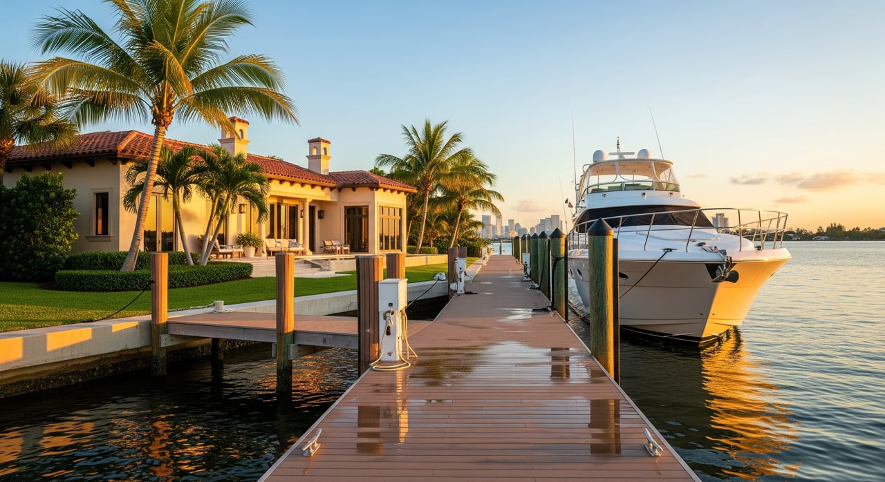
Davis Islands sits just south of downtown Tampa inside the inner harbor. You get sheltered water for quick day runs, easy access to inshore fishing, and clear routes to main Tampa Bay channels. It is popular with center consoles, bay boats, express cruisers, and trailerable sailboats.
If you value a fast on-ramp to the bay, the location is hard to beat. You can enjoy short cruises, waterfront dining, and occasional overnights at nearby marinas. Many owners choose boats in the 18 to 40 foot range for an easy balance of access and comfort.
Where to launch and dock
Public ramps near Davis Islands
If you trailer your boat, start with the Florida Fish and Wildlife Conservation Commission resources. Use the FWC’s boating pages to find the nearest public ramps and check parking, hours, and ramp width before you go. You can review options and rules via the FWC’s central boating portal on the official site. Try the FWC’s primary boating hub to locate ramps and rules at the same time.
- Research and confirm launch sites using the Florida agency’s official boating pages. Visit the FWC’s boating portal for ramp search and regulations: FWC Boating.
Plan for weekend demand and arrive early. Verify any trailer length limits or staging areas before lining up.
Marinas and clubs
You will find a mix of private club docks and commercial marinas around the inner harbor. Expect typical offerings like shore power, water, Wi‑Fi, showers, and sometimes fuel or pump‑out. Policies vary. Call each facility to confirm slip size limits, depth at mean low water, transient availability, and whether membership is required.
For quick availability checks and transient booking, use established marina platforms. You can browse and request slips on Dockwa, and you can read user reports on approach depths and amenities on ActiveCaptain. Always confirm final details directly with the marina office before committing.
Fuel and pump‑out
Fuel docks are available at select marinas in the inner bay area, and many boaters also use nearby main channel facilities. Hours and fuel types differ by location, so call ahead. Pump‑out service is often by request or through mobile pump‑out boats operating in Tampa Bay. Ask your marina to recommend permitted vendors and typical response times. The FWC boating pages are a good starting point for permitted pump‑out resources and operating rules.
Service yards and contractors
Tampa Bay has several boatyards that handle haul‑outs, bottom paint, fiberglass, and engine work. Before you schedule, confirm lift capacity, maximum beam, and lead times. For routine maintenance like outboard service, marine electrical, or canvas work, many owners use a mix of on‑site contractors and mobile pros. Your marina office is often the quickest path to trusted referrals.
Navigating around Davis Islands
Bridges and air draft
You will encounter a mix of fixed and bascule bridges in the inner harbor. These can limit air draft for taller sailboats and larger flybridge cruisers. Do not rely on memory for clearances. Check current figures and any temporary restrictions using the official chart viewer and notices.
- For the latest charted clearances and aids to navigation, review the NOAA Chart Viewer.
- For temporary changes, bridge work, or special events, check the U.S. Coast Guard Local Notice to Mariners.
Powerboats and lower‑profile cruisers typically transit without concern. If you own a tall‑mast sailboat, plan your routes around confirmed openings or remain in the main channels as needed.
Depth, shoals, and tides
Inner Tampa Bay is actively managed and can shift with dredging and sediment movement. Verify controlling depths and contour changes on the NOAA viewer and ask marina staff about any recent shoaling near entrances. Tides are moderate but still affect shallow approaches and slip access. Plan your arrival and departure around predicted low water if your draft is close to posted depths.
- Confirm changing contours and markers using the NOAA Chart Viewer.
Wake, speed, and manatee zones
Wake rules are posted near seawalls, docks, and residential shorelines, with additional seasonal protections for manatees. Follow posted signs and check official maps before planning watersports or passing close to shore. The FWC maintains slow‑speed and manatee protection information on its boating pages.
- Review slow‑speed and manatee guidance via FWC Boating.
Safety and local notices
Florida law sets required safety gear, navigation lights, and registration rules. Before busy weekends or holidays, review local advisories for races, fireworks, or dredging.
- Check active advisories in the Local Notice to Mariners.
What boats fit Davis Islands
Choosing the right boat for Davis Islands is about matching your draft, air draft, and slip needs to the inner harbor environment.
- Small to mid‑size center consoles and bay boats, 18 to 30 feet. Ideal for inshore fishing, sandbar runs, and quick trips. Easy to trailer and launch, with low air draft.
- Express cruisers and cabin boats, 28 to 45 feet. Great for overnight comfort. Expect higher demand for deeper, wider slips and plan ahead for availability.
- Offshore sportfishing boats, 25 to 40 plus feet. Popular for bay and Gulf runs. Confirm draft and beam against marina parameters and approach depths.
- Sailboats, 25 to 45 plus feet. Air draft is your limiting factor. Verify bridge clearances and opening schedules before committing to a slip.
For slip sizing, use simple rules of thumb:
- Length: choose a slip 10 to 20 percent longer than your boat’s LOA to allow for fenders and maneuvering.
- Beam: confirm clear width and finger spacing for safe access and fendering.
- Depth: verify depth at mean low water exceeds your draft with a safety margin, and ask about recent shoaling.
If you plan to keep a 30 to 40 foot boat, start the slip search early, especially ahead of peak season. Transient options help you test access and wake exposure before you sign a long‑term agreement.
Plan your slip: a simple checklist
Use this checklist before you call marinas or review waitlists.
- Measure the boat: LOA, beam, draft, and air draft. Include radar arches, antennas, and tower structures.
- Define priorities: proximity to home, depth, shore power needs, Wi‑Fi, security, parking, shower access, and liveaboard policies.
- Verify the slip: exact length, width, depth at mean low water, fixed vs floating, cleat positions, and finger spacing.
- Confirm utilities: shore power type and amperage, billing method, potable water, and Wi‑Fi reliability.
- Review terms: rates, deposits, minimum term, notice periods, late fees, and transient guest policies.
- Ask about services: fuel availability, pump‑out schedule, mobile vendors, haul‑out yards, and lift capacity.
- Understand rules: hurricane plan, emergency contacts, after‑hours access, liveaboard rules, and subletting.
When demand is high, ask about waitlists and typical timelines. Consider a trial month or short transient stay to confirm access routes, wake conditions, and parking before a full‑season commitment.
Build an amenities map you can use
A simple planning map helps you visualize your boating life from Davis Islands. You do not need survey‑grade detail. You want a clear snapshot of key access points and services.
Include these elements:
- Points: public boat ramps, marinas and yacht clubs (mark public vs private), fuel docks by fuel type, pump‑out locations, and major service yards.
- Lines: main navigation channels from current NOAA charts, plus approximate slow‑speed and no‑wake boundaries using official maps from FWC.
- Annotations: bridge locations with a note to “check clearance,” nearest tide station, and a label for downtown Tampa to orient new guests.
- Legend: symbol key, a brief disclaimer, and a last‑checked date.
Practical tips:
- Use an embedded interactive map and link each pin to the facility’s official listing or contact page. Many boaters add links to marina directories like Dockwa or user notes from ActiveCaptain for quick context.
- Offer a printable one‑page image with high‑contrast icons for offline planning.
- Add a bold reminder on the map: “Confirm current depths, clearances, and wake rules before getting underway.”
Pro tips for a smooth season
- Keep your sources handy. Save the NOAA Chart Viewer, the Local Notice to Mariners, and FWC Boating to your phone.
- Check tides when your draft is close to a marina’s posted depth. Plan arrivals for mid to high water if you are tight.
- Respect wake and seasonal slow‑speed zones. It protects seawalls, neighbors, and manatees, and it keeps everyone’s experience better.
- Prepare for hurricane season from June through November. Confirm your marina’s storm plan, extra line setup, and haul‑out procedures. Verify insurance requirements for named storms.
- If you are between slips, combine trailer launches with transient nights to test different access points before committing to a long‑term berth.
Boating is a lifestyle choice as much as a property choice on Davis Islands. When your home, slip, and boat are aligned, every weekend feels easier, and every route feels familiar. If you are weighing neighborhoods or comparing slip options, let a local advisor help you match the right home to your ideal boating plan.
Ready to align your next Davis Islands home with the boating access you want? Schedule a private conversation with Louis Acevedo to map out your options.
FAQs
Can I keep a tall‑mast sailboat on Davis Islands?
- Possibly. Bridge clearances and opening schedules vary, so confirm air draft limits on the NOAA Chart Viewer and check temporary advisories in the Local Notice to Mariners before choosing a slip.
Are there public boat ramps close to Davis Islands?
- Yes in the greater Tampa area, but availability and parking rules vary; use FWC Boating to locate nearby ramps and confirm current details.
How deep should my slip be for a 3‑foot draft boat?
- Ensure the marina’s depth at mean low water exceeds your 3‑foot draft by an extra 1 to 2 feet for safety, and verify recent soundings with the marina and the NOAA Chart Viewer.
Where can I find fuel and pump‑out service?
- Many inner bay marinas offer fuel and pump‑outs, sometimes by request; call ahead and ask your marina about mobile pump‑out options and confirm hours via official listings on FWC Boating.
How do I keep up with temporary closures and events?
- Review the U.S. Coast Guard Local Notice to Mariners for bridge work, races, fireworks, and dredging updates before busy weekends.
What boat sizes work best around Davis Islands?
- Center consoles and bay boats from 18 to 30 feet fit easily, express cruisers from 28 to 45 feet are common with the right depth and beam, and sailboats should confirm air draft limits before selecting a slip.